The rolling terrain of Worcester, carved by glacial retreat across the Worcester Plateau, leaves behind a complex stratigraphy that standard borings often misinterpret. Colluvial deposits, discontinuous till lenses, and lacustrine varved clays from glacial Lake Nashua sit atop the crystalline bedrock typical of Central Massachusetts. When you core into these formations, the transition between weathered schist and competent gneiss can vary by several feet over short horizontal distances. That is precisely where an exploratory test pit provides the visual continuity no split-spoon sample can replicate. Our team logs the exposed section directly against ASTM D2487, measuring stratum thickness, fracture spacing, and groundwater seepage at depths up to 14 feet—before the excavation reaches the practical refusal often imposed by the dense basal till that underlies much of the Blackstone Valley corridor.
A 12-foot test pit in Worcester’s glacial stratigraphy can reveal more about bearing behavior than five SPT borings that miss a thin varved clay seam.
Site-specific factors
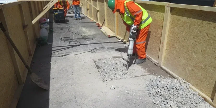
We arrive on site with a 20-ton excavator equipped with a 24-inch smooth bucket—not a toothed digging edge—because ripping through the dense basal till that mantles the Worcester hillsides can smear a clay seam and make it invisible to the eye. The operator peels the material in thin lifts while our field engineer stands at the edge logging each exposure. The real hazard is not the excavation itself but what an untrained eye might miss: a thin, polished shear plane within the varved silt that indicates paleo-landslide movement, or a sand lens within the till that acts as a perched aquifer. Miss that lens, and your foundation drain design is underspecified. In one instance near Airport Hill, a 6-inch-thick layer of highly plastic lacustrine clay—completely missed by prior SPT borings—was identified in a test pit and prompted a redesign of the footing subgrade preparation to include a geotextile separator and additional stone thickness, avoiding long-term differential settlement.
Quick answers
How deep can you safely excavate a test pit in Worcester's glacial soils?
Under OSHA Subpart P requirements for Type C soil classification—which applies to much of Worcester's surficial sand and silt deposits—we slope the excavation to a 1.5H:1V ratio or employ a trench box. With these protective systems, we routinely achieve depths of 12 to 14 feet below grade, which typically reaches the weathered bedrock contact or the dense basal lodgement till. Sites with shallow groundwater may limit depth further.
What is the cost range for an exploratory test pit investigation in Worcester?
A typical exploratory test pit investigation in Worcester, including mobilization, excavation of two pits to 10–12 feet, engineer logging, photographic documentation, and a summary letter report, ranges from US$510 to US$930 depending on access constraints, traffic control requirements, and the number of samples collected for laboratory testing.
How does a test pit compare to SPT borings for foundation design on Worcester hillside sites?
SPT borings provide a continuous hammer-resistance profile but disturb the sample and obscure thin layers. A test pit exposes the actual stratification, allowing us to identify thin clay seams, shear planes, and cobble concentrations that control bearing capacity and slope stability. On hillside sites where glacial till contains boulders, the test pit reveals the matrix composition that governs foundation bearing pressure selection under IBC Table 1806.2.
Can you collect undisturbed samples from a test pit for triaxial or consolidation testing?
Yes—we trim block samples directly from the exposed face in cohesive soils where Shelby tube recovery would be compromised by gravel or stiff consistency. These samples are wrapped in wax and transported to our laboratory for unconsolidated-undrained triaxial testing or one-dimensional consolidation analysis, preserving the in-situ structure that disturbed split-spoon samples lose.