← Home · In-Situ Testing

Field Permeability Testing (Lefranc/Lugeon) in Worcester, MA

Together, we solve the challenges of tomorrow.

LEARN MORE →

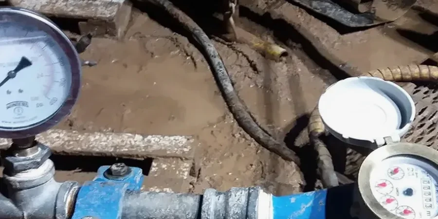
IBC Chapter 18 and ASCE 7-22 Section 12.13 both require accurate quantification of subsurface water flow when designing below-grade structures. In Worcester, where dense glacial till overlies fractured bedrock of the Paxton and Littleton formations, assuming a uniform permeability coefficient often leads to costly groundwater problems during excavation. Our team runs field permeability tests according to ASTM D4630 and ASTM D6391, applying the Lefranc method in soil borings and the Lugeon packer test in bedrock intervals. We correlate these results with grain size distributions to validate laboratory estimates, and we integrate the data directly into deep excavations dewatering plans when projects abut the Blackstone River or Lake Quinsigamond.

A Lugeon value below 1 in Worcester's bedrock usually means grout won't penetrate; above 5, you need a curtain strategy before excavation.

Methodology and scope

In the hills above downtown Worcester, we frequently encounter an interface zone where dense lodgment till grades into highly weathered schist. A standard falling-head test in a casing simply cannot isolate a 5-foot interval, so we mobilize a pneumatic packer system that seals off the target zone and measures flow under controlled pressure increments. This Lugeon test reveals whether fractures are tight, open, or slowly erodible—information that directly controls grout take estimates. The same rig can perform Lefranc tests in overburden, maintaining a constant head or performing a variable-head slug test depending on expected transmissivity. We pair this data with CPT soundings near the Wachusett Street corridor to differentiate silt layers that hold water from free-draining sand lenses that require wellpoint systems.
Field Permeability Testing (Lefranc/Lugeon) in Worcester, MA
Technical reference image — Worcester

Site-specific factors

Worcester's expansion through the early 1900s placed mill foundations and canal walls directly on fractured bedrock along the Middle River, much of which was later culverted. Those historic structures often lack subdrainage, and modern infill projects can trigger lateral flow through relic fractures if permeability is misjudged. A single unsealed exploration borehole that connects a perched aquifer to a deeper excavation can flood a site in under an hour. Our packer testing isolates each zone sequentially, so we avoid averaging an entire open hole. The data feeds into MODFLOW or SEEP/W models that the city's Conservation Commission and MassDEP rely on during groundwater discharge permit review. Without this measured K-value, a dewatering plan is just a bet.

Need a geotechnical assessment?

Reply within 24h.

Email: contact@geotechnical-engineering.vip

Reference parameters

ParameterTypical value
Test standard for soilASTM D6391 (variable-head in borehole)
Test standard for rockASTM D4630 (pressure/packer test)
Borehole diameter for packerNX or HQ (3.0 to 3.8 in)
Packer length3.3 to 10 ft (single or double)
Lugeon pressure steps5-stage cycle (P1-P5-P3-P2-P4)
Typical test interval5 to 10 ft per zone
Reporting parameterK (cm/s) or Lugeon units (Lu)
Groundwater conditionStatic level recorded before and after

Related services

01

Lefranc Permeability Testing in Overburden

Constant-head and variable-head tests performed in soil borings through glacial till, outwash, and lacustrine deposits. We measure K-values from 10^-2 to 10^-7 cm/s using calibrated standpipes and pressure transducers, delivering data formatted for dewatering design and settlement analysis.

02

Lugeon Packer Testing in Bedrock

Single and double packer setups isolating discrete fracture zones in Paxton and Littleton formation schist and gneiss. Five-stage pressure cycles identify laminar versus turbulent flow regimes, detect fracture dilation thresholds, and provide the Lugeon values required for grout curtain design and tunnel inflow modeling.

Reference standards

ASTM D4630-19: Standard Test Method for Determining Transmissivity and Storage Coefficient of Low-Permeability Rocks by In Situ Measurements Using the Constant Head Injection Test, ASTM D6391-11(2020): Standard Test Method for Field Measurement of Hydraulic Conductivity Using Borehole Infiltration, ASCE/SEI 7-22: Minimum Design Loads for Buildings and Other Structures (Chapter 12), 2021 International Building Code (IBC) Chapter 18: Soils and Foundations, MassDEP Groundwater Discharge Permit Program (314 CMR 5.00)

Quick answers

What is the difference between a Lefranc test and a Lugeon test?

A Lefranc test measures hydraulic conductivity in granular soil or soft rock using an open borehole section or a screened casing; it operates at low pressure and records either constant-head flow or variable-head recovery. A Lugeon test is a pressurized packer test specifically for fractured rock. It seals off a discrete interval with inflatable packers and injects water in five pressure steps, producing Lugeon units (1 Lu ≈ 1.3×10^-5 cm/s) that reflect fracture apertures and interconnection. In Worcester projects, we use Lefranc in the till and outwash, then switch to Lugeon once we hit competent bedrock.

How much does a field permeability test cost in Worcester?

For a single Lefranc test in a soil boring, budget between US$650 and US$850. A multi-stage Lugeon profile in bedrock typically runs US$850 to US$1,060 per tested interval, including packer setup, pressure-step data collection, and the permeability report. The final cost depends on access, hole depth, and the number of zones tested.

When does the Worcester Conservation Commission require in-situ permeability data?

Whenever a project proposes a permanent dewatering system, an infiltration basin within 100 feet of a water supply well, or a below-grade structure that intercepts the seasonal high groundwater table. The Commission and MassDEP want site-specific K-values, not textbook estimates, to review groundwater mounding analyses and verify that discharge won't impact adjacent wetlands like those along the Blackstone River corridor.

Location and service area

We serve projects in Worcester and surrounding areas.

View larger map