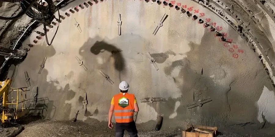
When we set up on a Worcester site, the first thing out of the truck is the inclinometer casing and the wireless piezometer transducers. Most jobs in this city sit on glacial till layered with lacustrine clay—material that doesn't telegraph trouble until it moves. We install in-place inclinometers along the shoring line and pair them with vibrating-wire settlement plates on the adjacent roadbed. A single rainstorm over Vernon Hill can raise pore pressure fast enough to shift a soldier pile wall, so our dataloggers push readings every 30 minutes during active cut phases. CPT testing ahead of excavation gives us the baseline stratigraphy we need to set alarm thresholds that make sense for the site, while a slope stability review is standard when the dig is within 50 feet of any of the city's steep drumlin faces. The gear is rugged, the data stream is continuous, and the interpretation happens right here in our Worcester lab.
An inclinometer reading that drifts 0.25 inches between shifts isn't noise—it's the till adjusting to the cut, and we need to know which direction it's going.
Site-specific factors
IBC 2021, Chapter 33, and ASCE 7-22 Section 12.5 set the floor for excavation safety, but Worcester's glacial geology writes the fine print. The hardpan here is erratic—dense lodgement till can sit directly next to loose ablation till with cobbles the size of a desk. A monitoring plan that treats the whole site as uniform material misses the point. Failure modes we track for include base heave in the lacustrine clay layers, rotation of cantilevered shoring when the passive wedge erodes after heavy rain, and settlement-induced cracking in pre-1900 brick buildings that have no modern footing system. The city's hills amplify these risks: a 20-foot cut on a 15° slope behaves very differently than the same cut on flat ground. Our monitoring protocols include daily baseline checks and a tiered notification structure—yellow for trend changes, red for exceedance—so the contractor has room to adjust before the condition becomes a safety event.
Reference standards
IBC 2021 (Chapter 33, Excavations and Foundation Monitoring), ASCE 7-22 (Minimum Design Loads, Section 12.5), ASTM D1586 (Standard Penetration Test), ASTM D2487 (Soil Classification for Engineering Purposes), OSHA 29 CFR 1926 Subpart P (Excavation Safety)
Quick answers
What monitoring frequency does IBC require for an excavation in downtown Worcester?
IBC Chapter 33 does not prescribe a single interval—it requires monitoring at a frequency sufficient to capture changing conditions. In our Worcester practice, that typically means daily visual checks plus continuous or hourly instrument readings during active cut, backfill, or dewatering phases. The engineer's monitoring plan, approved as part of the permit, establishes the specific schedule for that site.
What does a typical excavation monitoring package cost in Worcester?
For a standard program covering 4–6 inclinometer stations, 3–4 piezometers, and weekly optical survey over a 3-month excavation period, most Worcester projects fall between US$850 and US$2.820 depending on instrument count, site access difficulty, and reporting frequency.
Can you monitor an excavation that is already underway?
We can, but baseline data is more valuable when collected before the cut starts. If the excavation is already active, we install instruments at the earliest possible stage and compare readings to the geotechnical report's predicted behavior. The initial few days of data then serve as a working baseline for the remainder of the project.